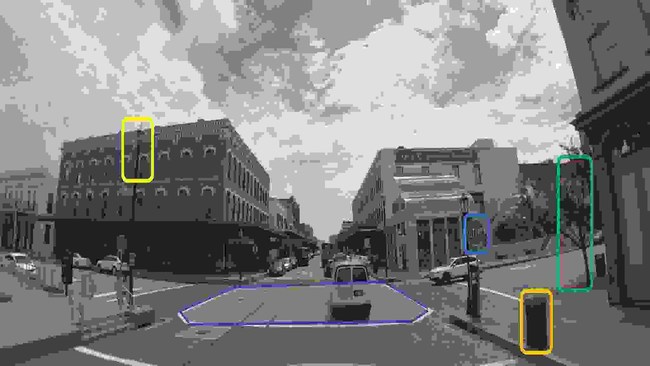
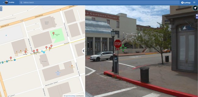
HOUSTON, May 3, 2021 /PRNewswire/ — OcuMap Inc. announced the release of OcuMap, a comprehensive software platform for geospatial media that brings together GPS videos, images and maps under a single dashboard. Organizations can take advantage of OcuMap to locate infrastructure assets and generate an asset inventory directly from street-level images. Linear projects can be visualized and accessed from any location without leaving the office, resulting in reduced travel cost and increased efficiency.
OcuMap is a cloud-based 360 degrees viewer with georeferencing capabilities. Google Street View imagery and 2D map data can be used alongside aerial or street level video imagery, with functionality to add tags and annotation features. Because OcuMap is camera hardware-agnostic, users can upload all sorts of georeferenced video, imagery, and view it in 360 degrees or in regular mode. Finally, additional georeferencing capabilities enable users to create hotspots and share the information with colleagues using a URL.
“OcuMap was designed with the field engineer in mind. We created a solution that enables them to make fast and accurate decisions about work in the field, bypassing the need for expensive and highly technical data products, expertise and software,” says Ala Hamdan, Founder of OcuMap Inc. “OcuMap offers a great user experience, making it the perfect choice for applications such as road and highway mapping, video logs, public works and infrastructure condition assessment.”
Availability
OcuMap is available as an affordable SaaS offering. For more information, have a look at: https://ocumap.com
Media Contact:
Ala Hamdan
281.702.9495
SOURCE Ocumap Inc


